

Sharing what we have learned: BH Wildlife Consultancy's contribution to the new DroneWild training course
Over the last few years, thermal drone surveys have become a core part of what we do at BH Wildlife Consultancy. We have counted deer across open hill, forestry and island ground, searched farmland for ground nesting birds, checked fenced enclosures and monitored seabirds on remote coastlines. Every one of those surveys has taught us something about what works, what does not and how to get reliable data from the air.
So we were delighted to be able to pass that experience on. Our sister company DroneWild has just launched Using Drones for Wildlife Monitoring and Surveying, a Lantra approved online training course, and BH Wildlife Consultancy has played a big part in shaping its content.
WHY WE WANTED TO BE INVOLVED
Demand for drone wildlife surveys is growing quickly, and more organisations are buying their own thermal drones. That is a really positive step for wildlife management, but we have seen first hand that good kit does not automatically mean good data. Survey design, timing, sensor settings, weather and the way footage is reviewed all make a huge difference to the final count.
Until now there has been very little structured training on the survey side of drone work. Contributing to the course was a chance to help raise standards across the sector and make sure more people are collecting data that land managers and decision makers can trust.
WHAT WE BROUGHT TO THE COURSE
Much of the course is built on methods we have developed and refined on live projects for clients across the public, private and charitable sectors. Our contribution included:
• Field tested methods for planning and flying thermal surveys for deer, birds and other wildlife
• Real world case studies, including a ground nesting bird survey on lowland farmland and a roe deer count in a fenced woodland enclosure
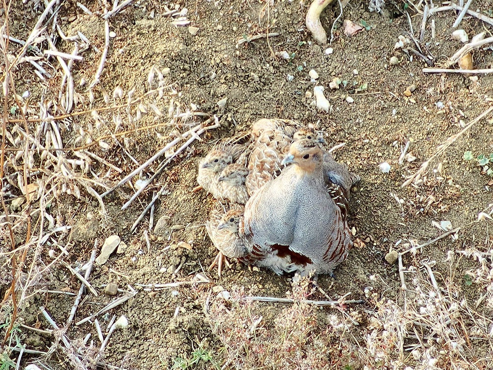
• Thermal and optical imagery from our own surveys, used to show participants what wildlife really looks like from the air
• Practical lessons on disturbance, weather and detection that only come from time spent in the field

Survey drone in flight in Scotland
LEARNING FROM THE PROCESS TOO
Writing a training course forces you to look hard at your own methods. Explaining why we fly a particular altitude, why we survey at certain times of day or how we decide whether a heat signature is a deer or a hare made us document our approach more clearly than ever.
It was also rewarding to see the course trialled with Forestry and Land Scotland wildlife rangers before launch. Their feedback from the field helped make sure the content is practical and relevant to the people who will use it every day.
ABOUT THE COURSE
'Using Drones for Wildlife Monitoring and Surveying' is delivered fully online and is self paced. It is aimed at drone pilots who already have flying experience and want to apply it to wildlife work. The course covers survey planning and design, thermal and optical sensor set up, environmental effects on detection, species identification, survey workflows, reporting and minimising disturbance.
Participants who complete the course receive a Lantra course certificate, valid for 3 years, and a field handbook to take into the field. The course costs £220 including VAT. Please note that it is a theory based course and is not a legal drone flying qualification.
Find out more and enrol at www.dronewild.co.uk/trainingcourse.
NEED A SURVEY RATHER THAN TRAINING?
BH Wildlife Consultancy continues to deliver thermal drone wildlife surveys across the UK. If you would like to discuss a project, get in touch at bhconsultancy@outlook.com.


Comments